We boarded the plane. In doing so I managed to fumble and brake one of the hinges to my sunglasses trying to extract my passport out of it's recycled rubber inner-tube sleeve.
From there it was fairly smooth sailing.. smooth sailing for days. The seat-back IFE Screens were solid but we quickly realized that repairing the USB outlets is not a top priority for this airline as about two out of every five seats actually worked. Luckily the selection of Movies, games, and 3D Flight Tracker Map were quite good. I was most impressed with the fact that you could watch the LOTR Trilogy and entire Twilight Saga. Well that's because if you do decide to walk either of those cinematic paths on this flight from SFO>KMG you will only be a little past half way on your journey when said path is realized.
Using the Map was a double edged sword both resurrecting your inner-child's 'Are we there yet?' mentality contrasting with the adult curiosity of realizing that the arcing global trajectory is not what you thought it would be based on the red-lined map flight lines from the Indiana Jones movies. Cue the theme music. Granted those planes were smaller and could not fly as far but still. To say it perpetuated the incorrect scaling of the world maps is a bit of an understatement. I love those movies as much as the next person born in the late 70's/early 80's but the simple fact is Africa (the continent, not the country) is staggeringly larger than the USA, let alone North America. What would us American children learning in school over the past three generations think if the giant retractable maps did not show their home and greatest country in the world sporting a visual land mass inferiority complex. Flatten the maps out a bit, and even rescale the spinning desk globes to avoid any doubt in American superiority, especially towards Africa.
Still don't believe me 'Murrica? Google Map it. Click on Google Earth, then zoom out until you can just see the spherical edges of our amazing planet. Now give that baby a spin at the same room level! Look at how much water exists between the edges and North America. Spin it East until you start seeing the African west coast. You will be able to roll that to the very left-hand edge of your screen. Can you see any water?!? Nope. You cannot even see the east coast of Africa. Unreal.
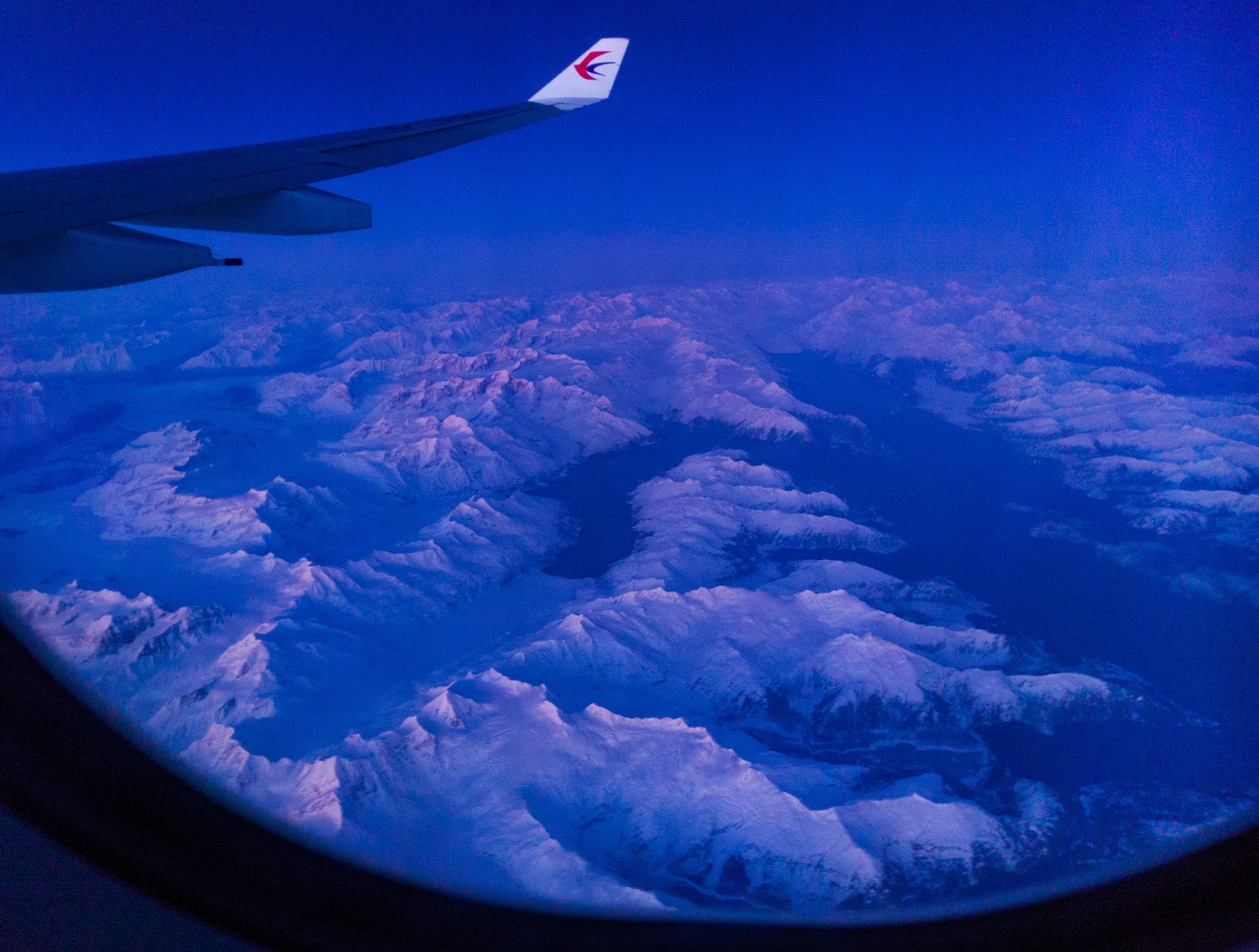
So we eventually made it though a few normal length movies, and looked out the window to what we thought was more clouds, but we were wrong. I thought might be close to the ice sheets of the article circle already but alas, we had only made it as far as Alaska. We were inching along the mountain ranges leading into Anchorage. These seemed to be vast mountain ranges that we happened to arrive at just passed Sunset. Snapped a few photos and was pleasantly surprised with what I got.